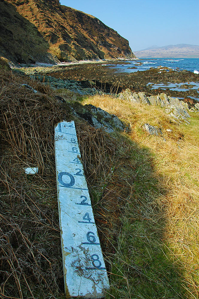
 I’m not sure what this once was, I’m guessing some kind of tide or water level indicator. We found it while walking at the bottom of the cliffs between McArthur’s Head and Proaig in the south east of Islay in April 2009.
Islay Pictures Photoblog
Pictures from the Isle of Islay, Scotland

This Image was mentioned on brid-gy.appspot.com
This Image was mentioned on brid-gy.appspot.com
This Image was mentioned on brid-gy.appspot.com
This Image was mentioned on brid-gy.appspot.com
This Image was mentioned on brid-gy.appspot.com
PS: If anyone knows what this is / where it came from I’d appreciate any tip offs. Just remember this was back in 2009.
This Image was mentioned on brid-gy.appspot.com
This Image was mentioned on brid-gy.appspot.com
This Image was mentioned on brid-gy.appspot.com
I’d say it’s a level indicator, the kind usually found in rivers or lochs. I’ve seen a few of them around the country. They were very common at fords all over the British Isles.
My guess would be that it had washed downstream in a spate and found it’s way across the sea.