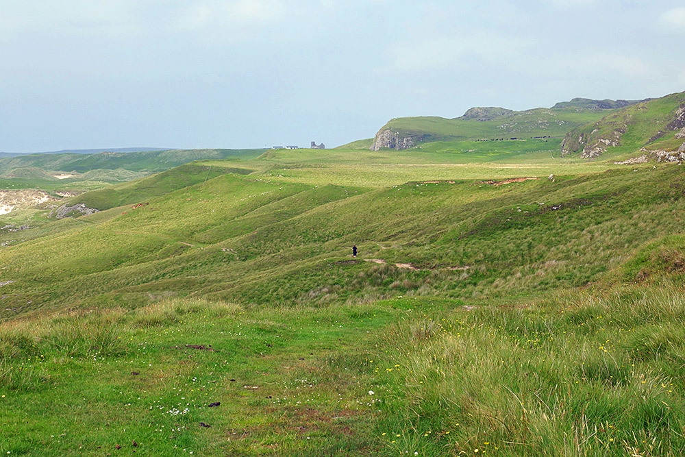
![Picture of a cloudy moody view along a rocky shoreline from the top of a hill](http://www.islay.org.uk/wp-content/uploads/2023/10/moody-view-south-bealach-na-caillich.jpg)
A mostly cloudy April afternoon on the Rhinns of Islay, a view south from the hillock south of Bealach na Caillich. The entrance to Kilchiaran Bay below on the left. Not in the picture behind us the old chain link radar station.
Spotted in April 2023, I don’t know if they’re still there now. Two boulders fallen on the track between Kilchoman and Kilchiaran, just below Bealach na Caillich. As you can see they didn’t block the track, someone just drove around them. Still, I wouldn’t want to have been in their path when they came down.
A view from an Islay walking week many years ago, walking towards Machir Bay from Kilchiaran. This is at the Bealach na Caillich, the highest point of the track. The beach in Machir Bay can be seen in the distance, partially hidden by the steep cliffs above the track.
PS: Any Gaelic speakers who can tell me what Bealach na Caillich means?