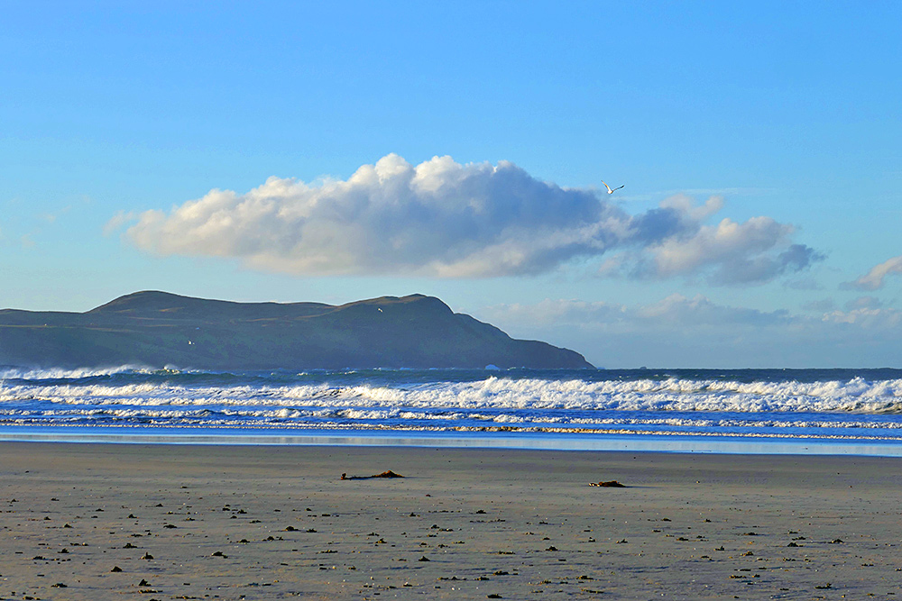
Looking south along the west coast from Kilchoman beach on a beautiful November morning on Islay. A large cloud is hanging low over the hills around Kilchiaran and Tormisdale while waves are rolling into Machir Bay and on to the beach.

Looking south along the west coast from Kilchoman beach on a beautiful November morning on Islay. A large cloud is hanging low over the hills around Kilchiaran and Tormisdale while waves are rolling into Machir Bay and on to the beach.
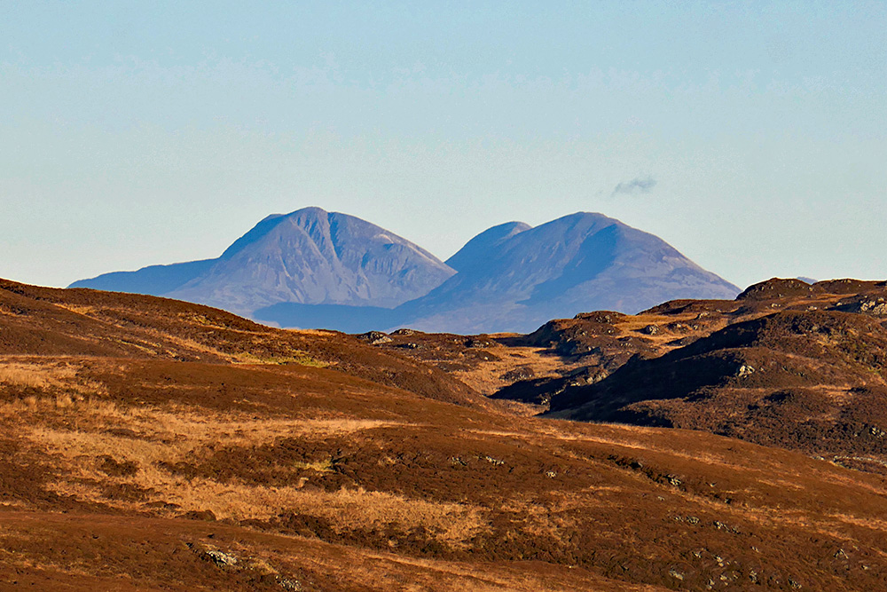
A great walk on a clear and sunny November day, from Kilchoman beach up to the old radar station at Kilchiaran. From near the station I enjoyed this great of the Paps of Jura behind the rugged hills of the Rhinns of Islay.
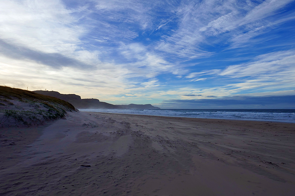
A November morning on the west coast of Islay, arriving on Kilchoman beach after walking over the dune path. Walking out on the beach and rounding the dunes the view opens up to the south, over to the crags with the old radar station at Kilchiaran.