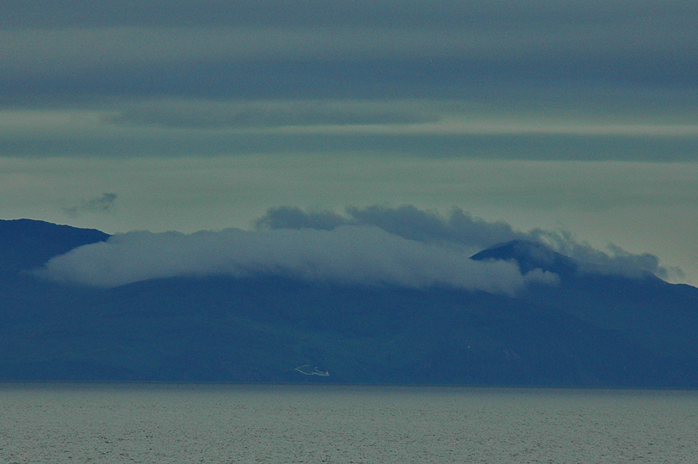
An evening ferry crossing to Islay, a distant view of McArthur’s Head lighthouse with some low clouds over the hills in the fading light.

An evening ferry crossing to Islay, a distant view of McArthur’s Head lighthouse with some low clouds over the hills in the fading light.
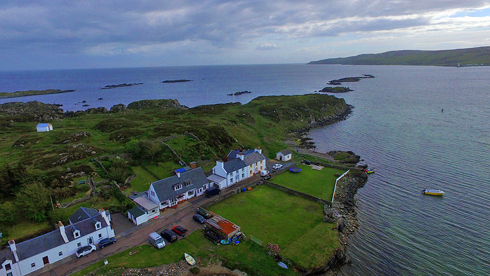
A drone view of the western end of the Ard at Port Ellen, looking south west to the Oa. Carraig Fhada lighthouse just visible on the right. Taken on a June late afternoon on Islay with clouds moving in after a sunny day.the
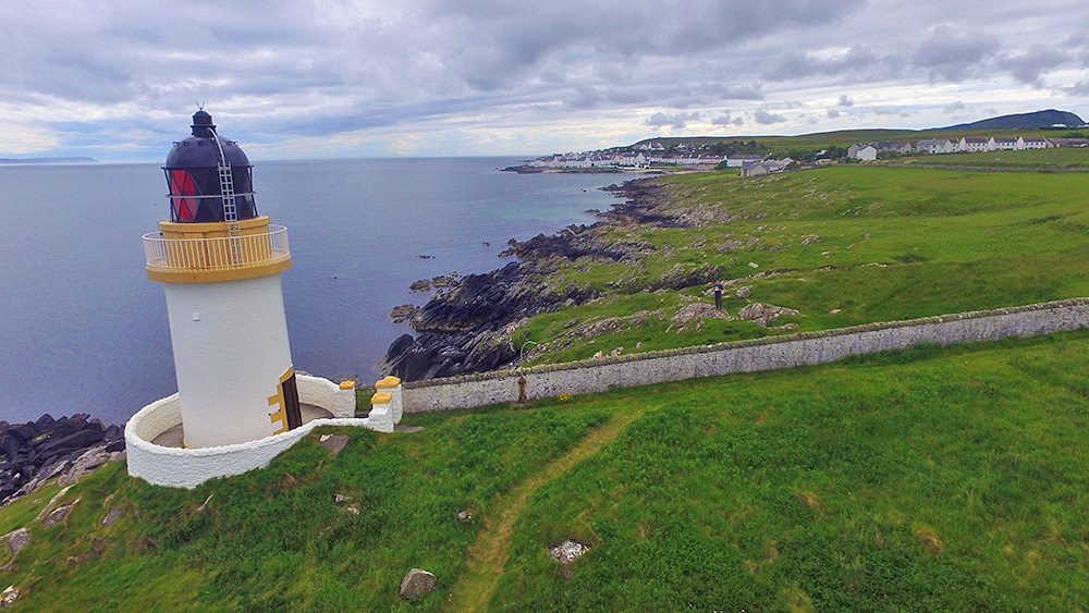
A drone view of Loch Indaal lighthouse, which we pass on the way to Port Charlotte on the Rhinns of Islay. Beinn Tart a’Mhill also visible in the distance on the right.