
A painting on a rockface next to Swan’s Pool near Port Ellen, a Mute Swan in blue Hebridean waters.

A painting on a rockface next to Swan’s Pool near Port Ellen, a Mute Swan in blue Hebridean waters.
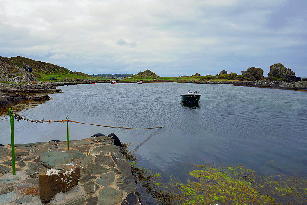
A view across Swan’s Pool with a view small boats, if you look closely you can also spot Laphroaig distillery in the distance. Taken on a cloudy June afternoon on Islay.
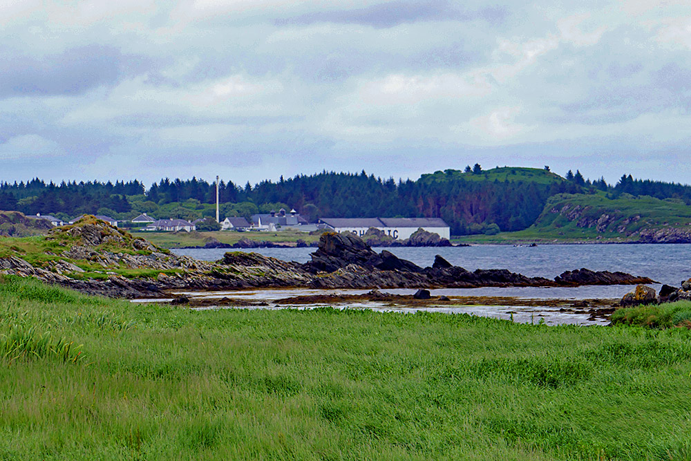
A view from a walk out to Swan’s Pool on the Ard at Port Ellen on an overcast June afternoon. Laphroaig distillery in the distance with Loch Laphroaig towards the right.