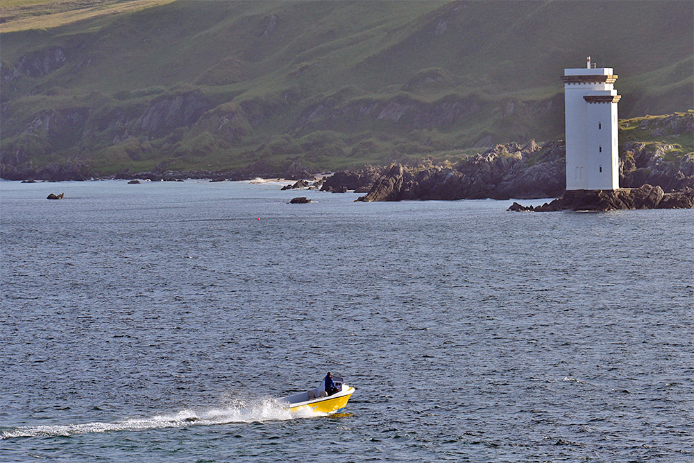
 Watched from the incoming Islay ferry to Port Ellen, a motorboat cruising past the lighthouse at Carraig Fhada. The Singing Sands in the background.
Motorboat off Carraig Fhada lighthouse, Isle of Islay
Image
15

Watched from the incoming Islay ferry to Port Ellen, a motorboat cruising past the lighthouse at Carraig Fhada. The Singing Sands in the background.
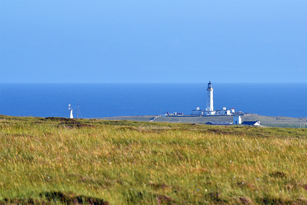 Admittedly you can’t see a lot of her (just the top of the masts), but after passing Frenchman’s Rocks the Flying Dutchman travelled past the Rhinns of Islay lighthouse. This was as much as I could see from the hills between Lossit Bay and Portnahaven.
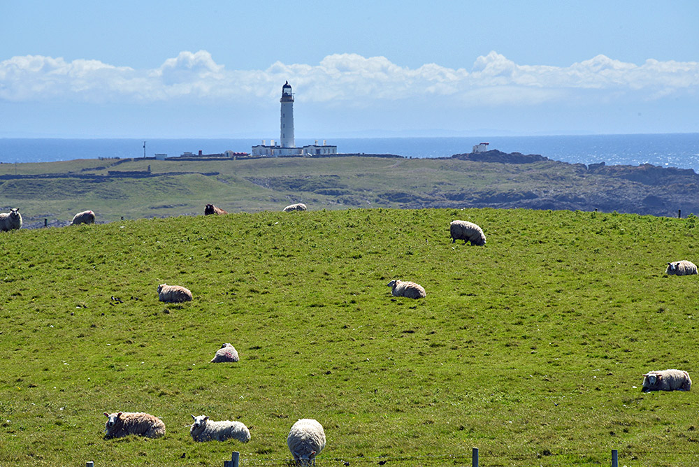 Looking south from a small hill at the coast near the Frenchman’s Rocks, a field with sheep and the Rhinns of Islay lighthouse on Orsay behind it. In the haze in the distance you can also just make out Ireland on the other side of the North Channel.