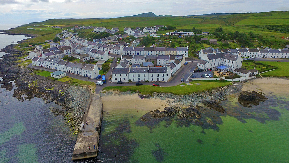
A view of the centre of Port Charlotte from a drone above Loch Indaal. Shore Street in the front with the Port Charlotte Hotel on the right. Also Beinn Tart a’Mhill visible in the distance, the highest hill on the Rhinns of Islay.

A view of the centre of Port Charlotte from a drone above Loch Indaal. Shore Street in the front with the Port Charlotte Hotel on the right. Also Beinn Tart a’Mhill visible in the distance, the highest hill on the Rhinns of Islay.
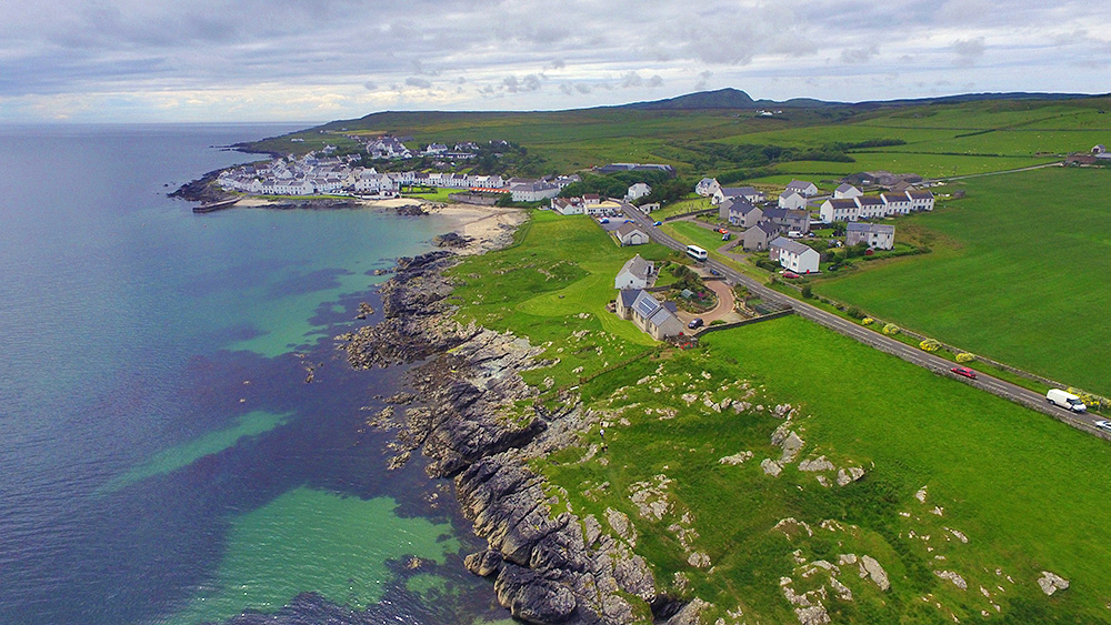
A drone view of Port Charlotte on the Rhinns of Islay, approaching along the coast from the Loch Indaal lighthouse. Port Charlotte pier visible on the left. A Mundell coach approaching the village from Bruichladdich, passing on its way to Portnahaven. Beinn Tart a’Mhill (232m) in the distance.
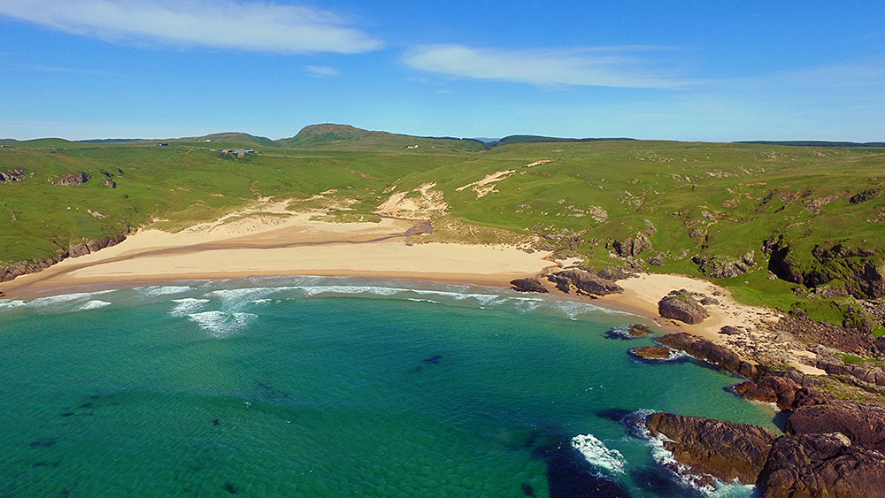
A slightly different version of the view of Lossit Bay and Beinn Tart a’Mhill from the air. Taken with a DJI Phantom 3 drone back in June 2015. Which version do you prefer?