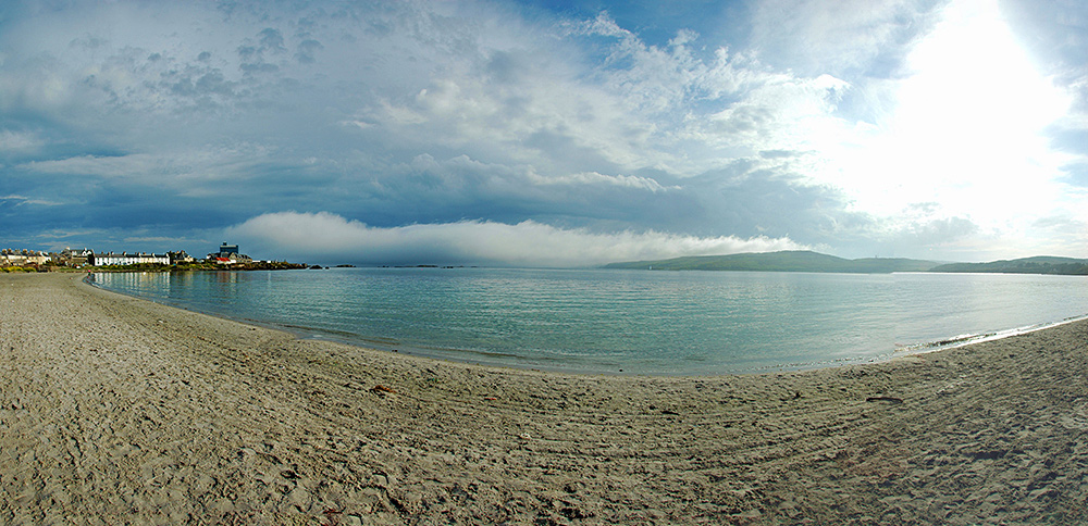
A June evening on White Hart beach (at the end of an Islay Beach Rugby tournament), looking out over Kilnaughton Bay with some interesting clouds in the distance, the evening sun still fairly high in the sky on the right.

A June evening on White Hart beach (at the end of an Islay Beach Rugby tournament), looking out over Kilnaughton Bay with some interesting clouds in the distance, the evening sun still fairly high in the sky on the right.
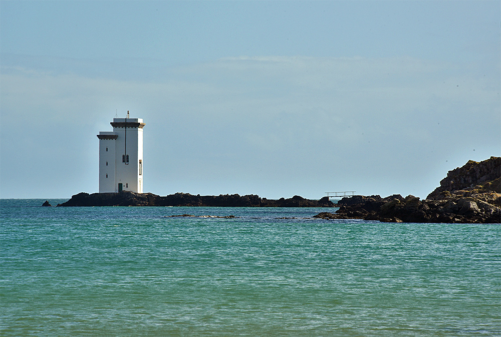
A beautiful sunny April day on the south coast of Islay looking out to Carraig Fhada lighthouse from Kilnaughton beach.
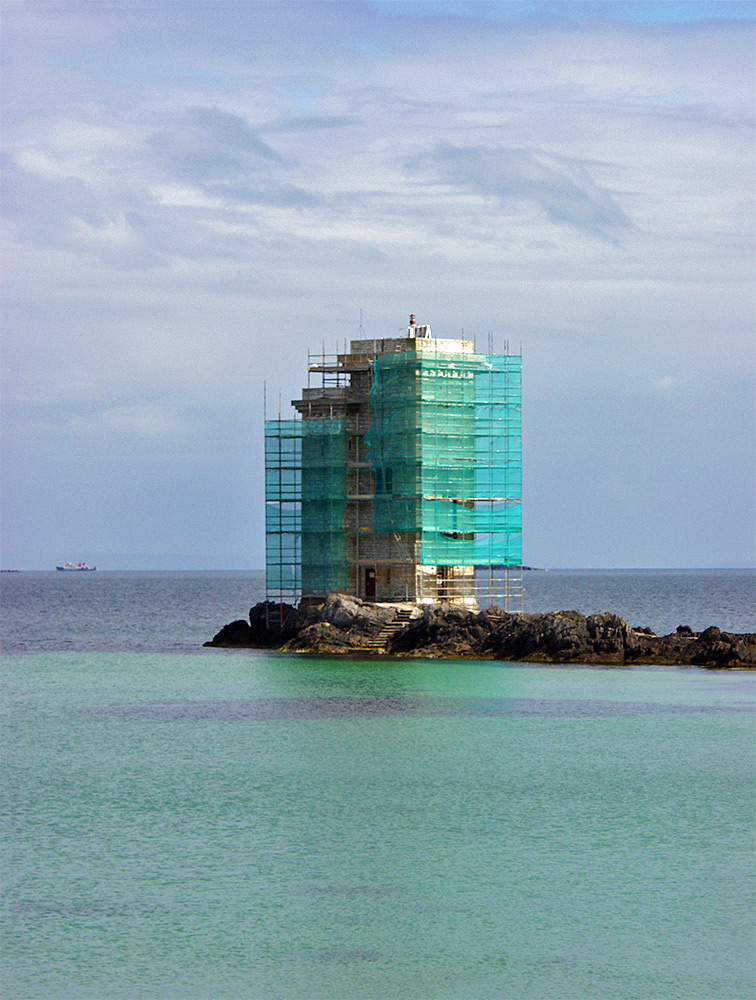
A memory from back in 2003, when there was scaffolding around Carraig Fhada lighthouse. I assume it was for painting and maybe other repairs. A Calmac ferry in the distance, I believe the MV Hebridean Isles.