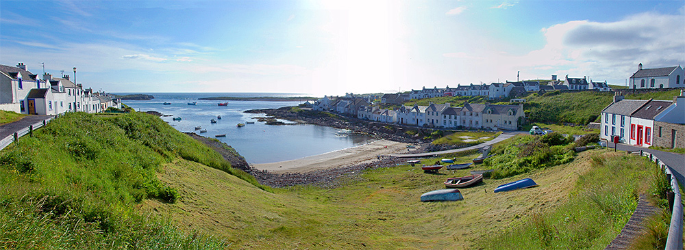
A popular view on the Rhinns of Islay, the view from the top of Shore Street across Portnahaven. This is an older panorama, the gap on the right has since been filled in with new houses.
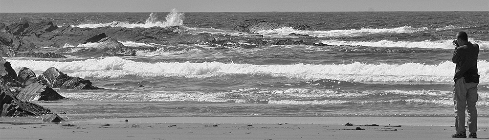
A popular view on the Rhinns of Islay, the view from the top of Shore Street across Portnahaven. This is an older panorama, the gap on the right has since been filled in with new houses.
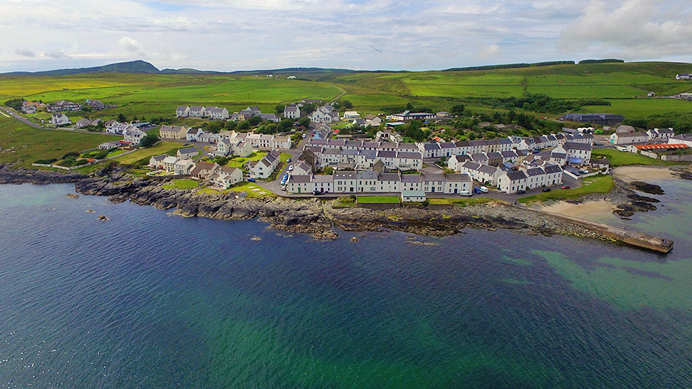
A drone view of Port Charlotte on the Rhinns of Islay at the shore of Loch Indaal. The view stretches from Port Charlotte West End on the left to the old Lochindaal distillery (now home to the Youth Hostel and the Islay Natural History Trust) on the right. Shore Street in the foreground (obviously) with Rhu to the left. Main Street (which is also the A847) the next one up, stretching all the way through the view. School Street going up from the junction of Shore Street and Rhu to the top of the village left of centre. And Beinn Tart a’Mhill, the highest hill on the Rhinns of Islay, in the distance on the left.
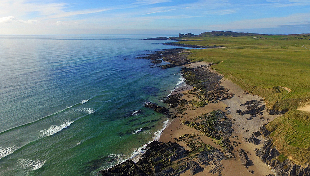
A drone view of the northern part of Saligo Bay on the west coast of Islay. Beach mixed with rocks, flanked by dunes. A well known rock/cliff formation in the distance.