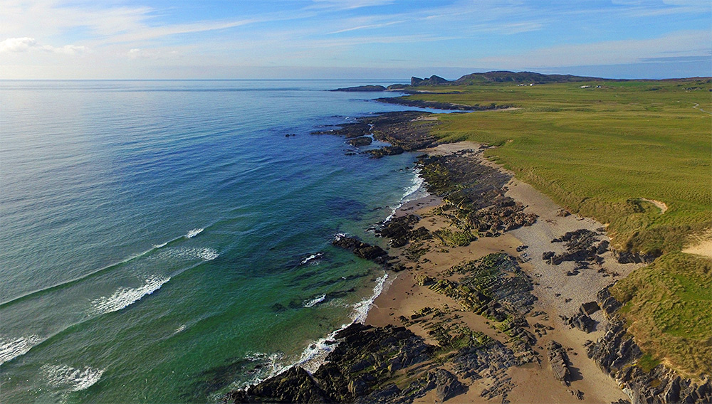
A drone view of the northern part of Saligo Bay on the west coast of Islay. Beach mixed with rocks, flanked by dunes. A well known rock/cliff formation in the distance.

A drone view of the northern part of Saligo Bay on the west coast of Islay. Beach mixed with rocks, flanked by dunes. A well known rock/cliff formation in the distance.
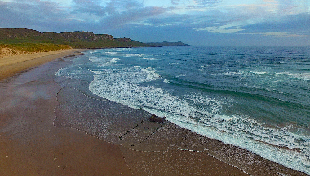
A drone view of Kilchoman beach and Machir Bay with the wreck of the Patti in the surf, taken on a June evening on Islay.
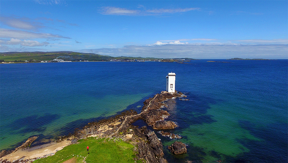
A drone view of Carraig Fhada lighthouse and the cliff path out to it with Port Ellen behind it in the distance. The Port Ellen maltings on the left with the smoke clearly visible. Texa visible in the distance on the right. And yes, that’s me with the red shirt in the foreground, piloting the drone back in 2015.