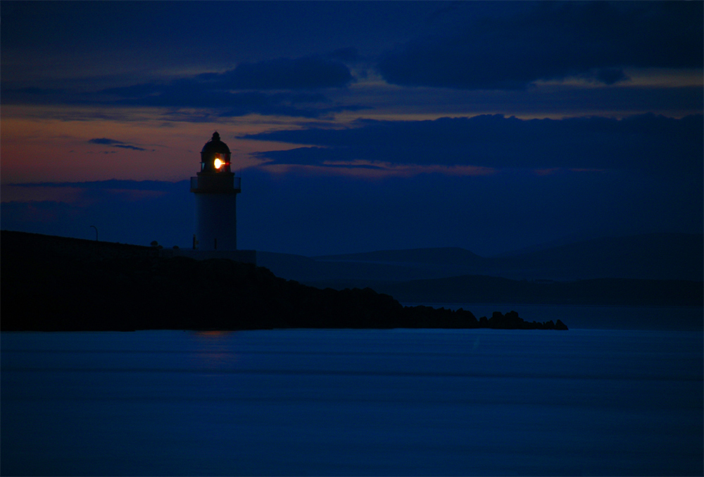
A June night on Islay at Loch Indaal, looking over to the lighthouse from Port Charlotte pier. The lighthouse with its light guiding any late arriving ships in the last light of the gloaming.

A June night on Islay at Loch Indaal, looking over to the lighthouse from Port Charlotte pier. The lighthouse with its light guiding any late arriving ships in the last light of the gloaming.
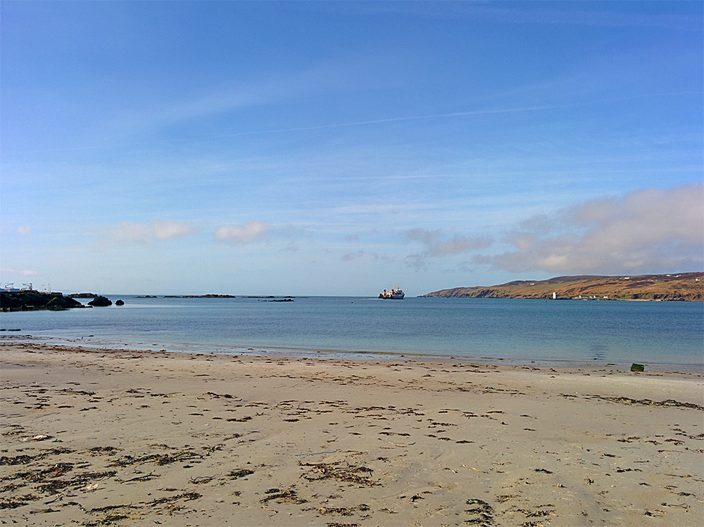
A view from the White Hart beach, the MV Hebridean Isles leaving Port Ellen on a sunny April morning on Islay. Carraig Fhada with the lighthouse in the distance.
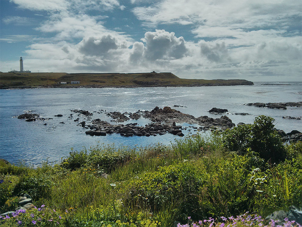
A view from Port Wemyss on a sunny day, looking over to Orsay with the Rhinns of Islay lighthouse.