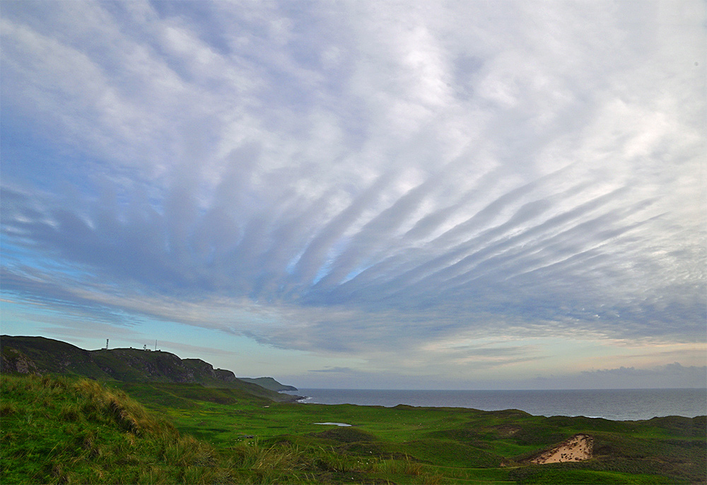
Out on a June late evening walk around sunset on the dunes at the war cemetery. Spotted these interesting clouds over the crags between Kilchoman and Kilchiaran.
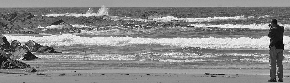
Out on a June late evening walk around sunset on the dunes at the war cemetery. Spotted these interesting clouds over the crags between Kilchoman and Kilchiaran.

Another view of the landslide on the Kilchoman to Kilchiaran track, here seen from the track. My sister Imke on the left, giving an idea of the size of the landslide.

Unless you’re flying to Islay you will be familiar with the landslides on the A83 near the Rest and be Thankful on the main route to Islay from Glasgow. On a much much much much much smaller scale Islay now has its equivalent: Some time between April 2024 (the last time I walked up) and June 2025 (when I took this picture) a landslide occurred on the Kilchoman to Kilchiaran track. There is no OMR (Old Military Road) to get around it, but you can walk around it on a new track slowly forming.