Coast near Laggan Point, Isle of Islay

Image

Picture of a rugged coastline with a small raised beach
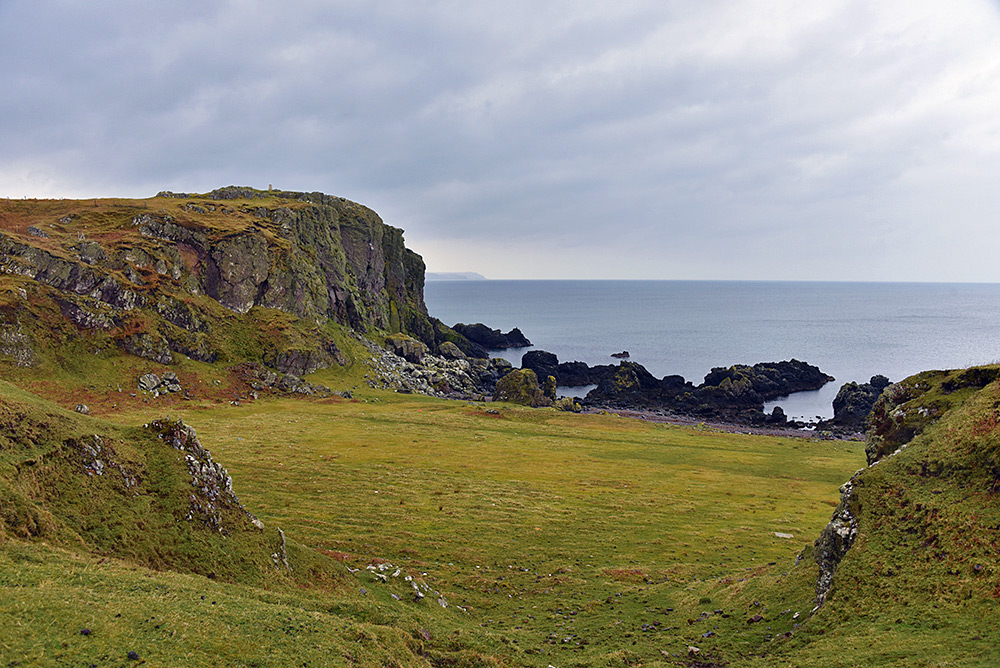
A view of a small part of the coastline just east of Laggan Point, I believe the crags with the trigpoint are called Creag nam Fitheach. I’m wondering if the flat area below is a small raised beach? The Mull of Oa also visible in the haze in the distance.
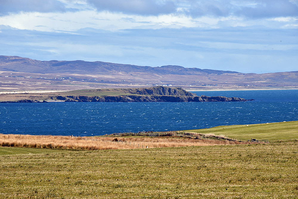
Laggan Point seen from the Kilchiaran Road, Isle of Islay

Image

Picture of a rocky outcrop in a sea lochA view of Laggan Point between Loch Indaal and Laggan Bay, seen from just outside Port Charlotte on the road to Kilchiaran. Taken during an Islay walking week walk in April 2016.

International Space Station (ISS) passing over Loch Indaal, Isle of Islay

Image

Picture of the trail of the International Space Station (ISS) passing over a sea lochIn April 2016 the International Space Station (ISS) was passing over Islay again (see also this picture for an ISS pass over Kilchoman in April 2015), unfortunately it was still fairly light during this pass over Loch Indaal. However, the picture came out better than I had hoped so I decided to share it. The view is south from Port Charlotte pier with the ISS passing from west to east. The Oa in the far distance, Laggan point towards the left of centre. The rocks below Port Charlotte’s Shore Street on the right.

This is a composite picture of 38 images covering just under three minutes, hence the short startrails of the few already visible stars moving across the sky.