Washed up on the shore between McArthur’s Head and Proaig, Isle of Islay

Image

Picture of a broken water level board washed up on a remote shore
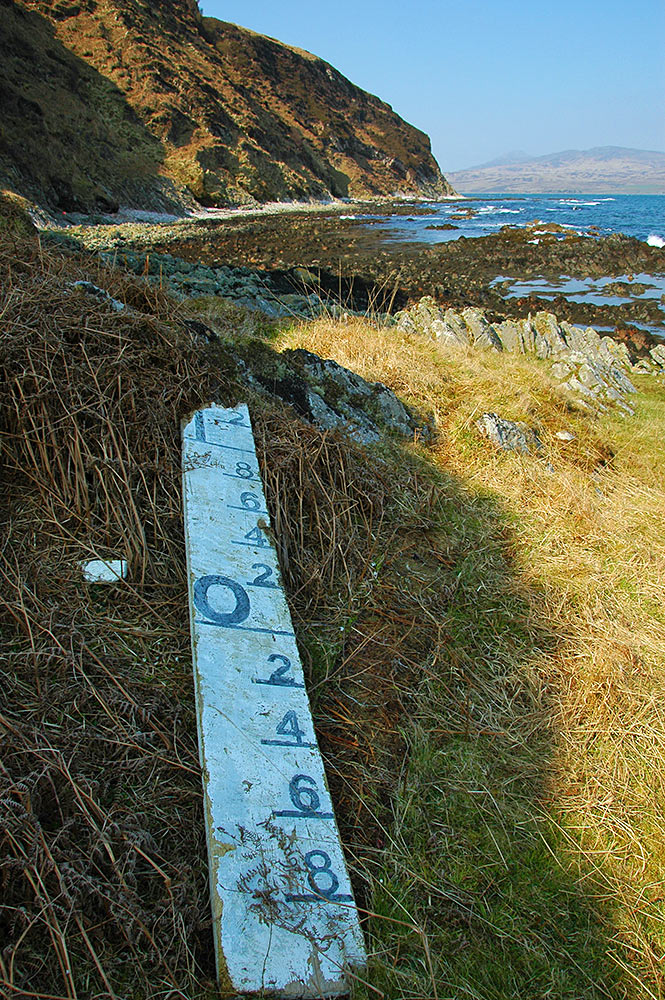
I’m not sure what this once was, I’m guessing some kind of tide or water level indicator. We found it while walking at the bottom of the cliffs between McArthur’s Head and Proaig in the south east of Islay in April 2009.
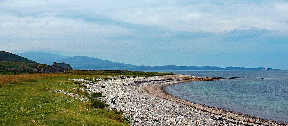
Proaig bothy and a distant passing Islay ferry

Image

Picture of a coastal bothy in a converted old farm steading, a ferry passing in the distanceA view of Proaig bay with the bothy in the converted old farm steadings. In the distance on the right a Calmac ferry is leaving the Sound of Islay on her way to Kennacraig on the mainland.

Beinn Bheigier summit view, Isle of Islay

Image

Panoramic view from the summit of a hill on an islandA panoramic view north and north-east from the summit of Islay’s highest hill, Beinn Bheigier at 491m. Opposite is Glas Bheinn (472m) with the Paps of Jura behind it in the distance to the right. Loch Allallaidh on the left. Proaig in the distance on the shore on the right.