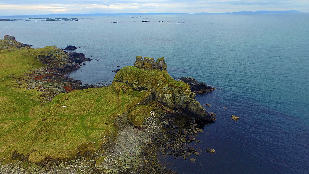
A drone view of Dunyvaig Castle at Lagavulin on the south coast of Islay with some of the Southern Skerries in the background. The Argyll mainland in the distance.
Taken with a Phantom 3 in April 2016.

A drone view of Dunyvaig Castle at Lagavulin on the south coast of Islay with some of the Southern Skerries in the background. The Argyll mainland in the distance.
Taken with a Phantom 3 in April 2016.
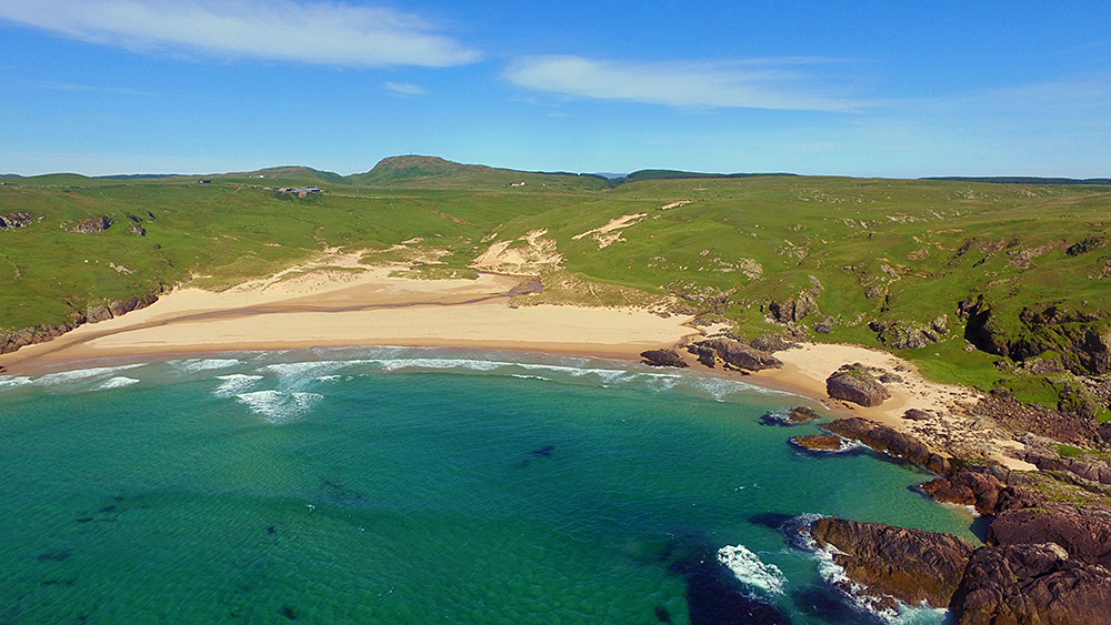
A slightly different version of the view of Lossit Bay and Beinn Tart a’Mhill from the air. Taken with a DJI Phantom 3 drone back in June 2015. Which version do you prefer?
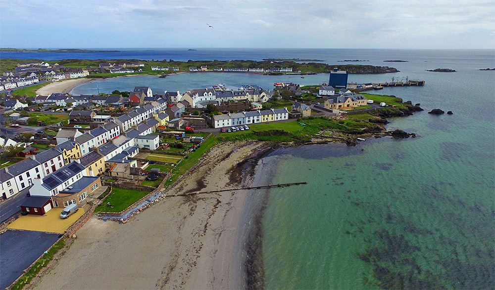
A drone view of Port Ellen, the main port on Islay for the ferry and barley delivery for the famous Islay whisky. The pier and the grain silo towards the right with Loch Leòdamais stretching across the view. White Hart beach just below us.
Taken from a DJI Phantom 3 in June 2015.