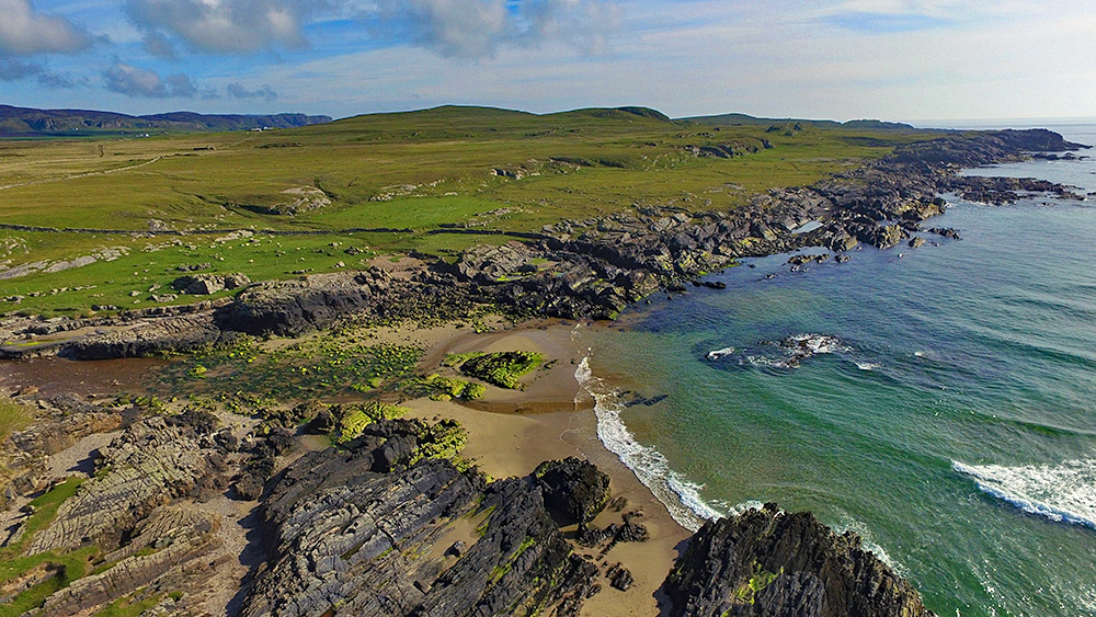
A drone view of the rocky southern shore of Saligo Bay on the west coast of Islay. Saligo River coming in from the left, running into the Atlantic across the beach. The Kilchoman crags in the distance on the left.

A drone view of the rocky southern shore of Saligo Bay on the west coast of Islay. Saligo River coming in from the left, running into the Atlantic across the beach. The Kilchoman crags in the distance on the left.
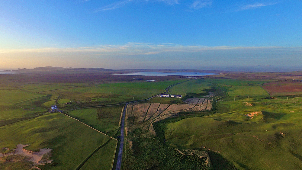
A drone picture from June 2015, taken on a beautiful late evening from Kilchoman just before sunset. Just ahead the Coastguard Cottages towards the right, the reed beds where Corncrakes can often be heard (and with a lot of luck even be seen) stretching out in front and to the right of them. Loch Gorm, Islay’s largest freshwater loch in the distance behind the cottages. Saligo just visible in the distance on the left.
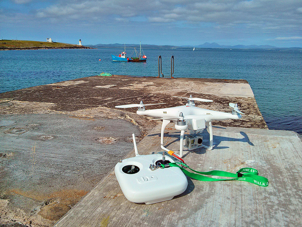
A memory from the early days of amateur drone flying (and filming) back in June 2013. I don’t think affordable drones with built in cameras existed back then, instead it was a GoPro in a plastic holder (which you had to start filming before you took off and stop after you landed, as there was no remote. Also no video stream to a display. You just pointed the drone into the vague direction you wanted to film and hoped for the best). Still, filmed this video of Port Charlotte from the air on the day I took this picture. A bit shaky and wobbly, but that was all we had back then.