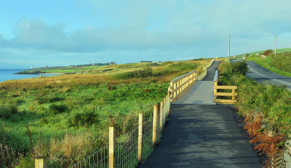
A view of the new path between Bruichladdich and Port Charlotte, called the Loch Indaal Path. This view is from near Bruichladdich, looking towards Port Charlotte. The Loch Indaal lighthouse visible on the left.

A view of the new path between Bruichladdich and Port Charlotte, called the Loch Indaal Path. This view is from near Bruichladdich, looking towards Port Charlotte. The Loch Indaal lighthouse visible on the left.
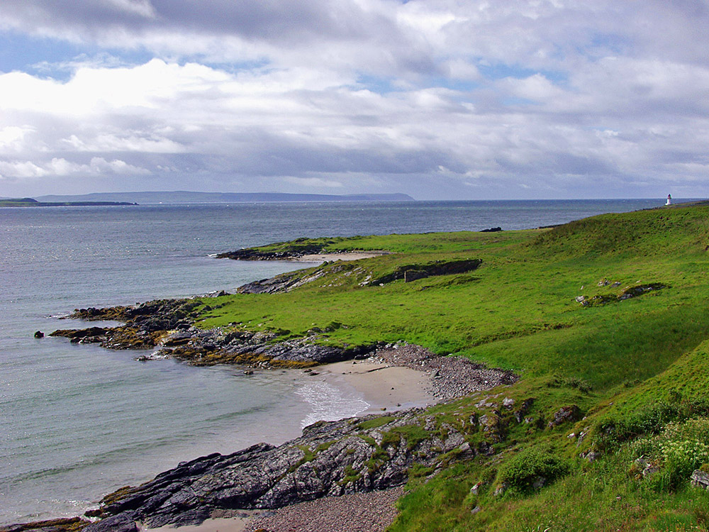
A view on the Rhinns of Islay just south of Bruichladdich on a July morning. Some of the small beaches at Port Ban in the foreground, Laggan Point on the left and the Oa with the Mull of Oa in the centre on the other side of Loch Indaal. Lochindaal lighthouse just visible in the distance on the right.
PS: The OS map shows this area as Port Flora, but to my knowledge it’s better known as Port Ban.
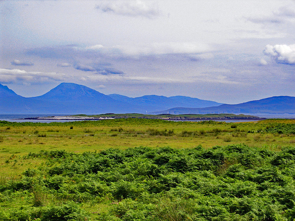
A view from the track to Oronsay farm and priory, looking over to Islay (towards the right) and Jura (towards the left). Eilean Ghaoideamal in the mid distance. If you look closely you can just make out Rhuvaal lighthouse at the far northern end of Islay right in the centre of the picture.
Picture courtesy of my sister Imke.