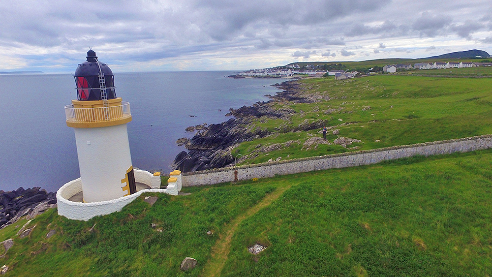
A drone view of Loch Indaal lighthouse, which we pass on the way to Port Charlotte on the Rhinns of Islay. Beinn Tart a’Mhill also visible in the distance on the right.
A drone view of Loch Indaal lighthouse, which we pass on the way to Port Charlotte on the Rhinns of Islay. Beinn Tart a’Mhill also visible in the distance on the right.
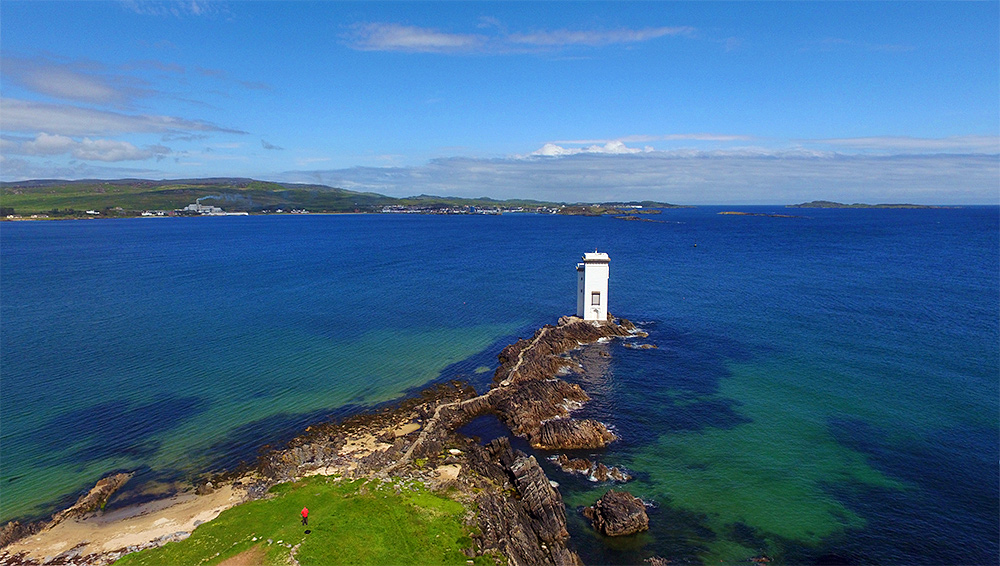
A drone view of Carraig Fhada lighthouse and the cliff path out to it with Port Ellen behind it in the distance. The Port Ellen maltings on the left with the smoke clearly visible. Texa visible in the distance on the right. And yes, that’s me with the red shirt in the foreground, piloting the drone back in 2015.

One of the many caves on Islay, the cave at the foot of the cliffs below McArthur’s Head lighthouse, at the southern entrance to the Sound of Islay. I can’t remember the details, but I have a vague memory of a story of it once being used by whisky smugglers. Which might be true. Or not.