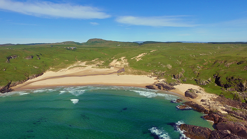
Lossit Bay and Beinn Tart a’Mhill from the air, Isle of Islay

Image

Picture of a hidden bay with a sandy beach with a hill in the background seen from the airAn aerial view of Lossit Bay on the west coast of the Rhinns of Islay, taken from a drone flying high above the Atlantic. In the distance Beinn Tart a’Mhill, at 232m the highest hill on the Rhinns.

Rhinns of Islay lighthouse from Beinn Tart a’Mhill

Image

Rhinns of Islay lighthouse from Beinn Tart a'MhillIt almost looks like an aerial picture, but this view is actually from Beinn Tart a’Mhill, at 232m the highest hill on the Rhinns of Islay. In front of the lighthouse are Port Wemyss on the left and Portnahaven on the right. Looking across the North Channel you can also make out the coast of Ireland in the distance.

The Mull of Oa from Beinn Tart a’Mhill, Isle of Islay

Image

Picture of a peninsula seen across a sea loch from a hillFollowing the view of Bowmore and Port Charlotte from Beinn Tart a’Mhill we turn right and now look out to the Oa with the Mull of Oa and the American Monument on the right. In the distance on the left also some of the hills of Kintyre.