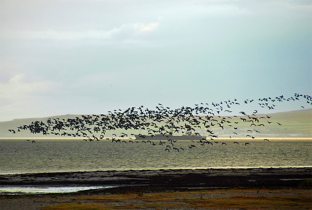
An October afternoon at Loch Indaal, a good number of Barnacle Geese flying in with a ship anchored in the loch behind.

An October afternoon at Loch Indaal, a good number of Barnacle Geese flying in with a ship anchored in the loch behind.

A view north from Bruichladdich pier, over to the northern end of Bruichladdich (Loch Gorm House on the left) and the south western end of Uiskentuie beach. The road to Kilchoman on the western side of the Rhinns of Islay in the gap just left of centre.

A drone view of Port Charlotte on the Rhinns of Islay at the shore of Loch Indaal. The view stretches from Port Charlotte West End on the left to the old Lochindaal distillery (now home to the Youth Hostel and the Islay Natural History Trust) on the right. Shore Street in the foreground (obviously) with Rhu to the left. Main Street (which is also the A847) the next one up, stretching all the way through the view. School Street going up from the junction of Shore Street and Rhu to the top of the village left of centre. And Beinn Tart a’Mhill, the highest hill on the Rhinns of Islay, in the distance on the left.