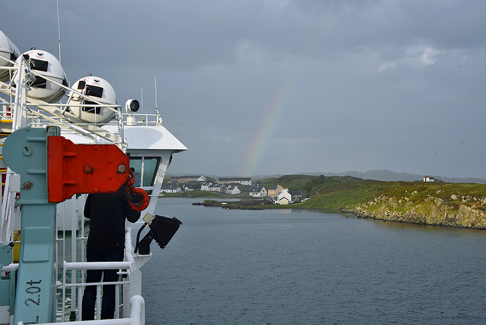
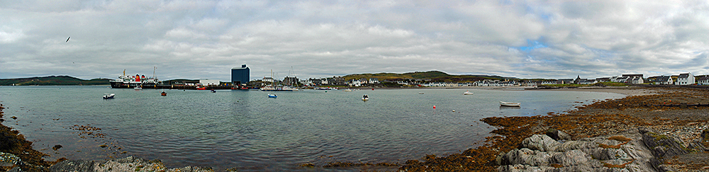
Brahunisary Farm and Port Ellen, Isle of Islay

Image

Picture of a farm and a coastal village with a harbour seen from a hillA view from the hills behind Kilbride Farm, looking across Brahunisary Farm to Port Ellen on the south coast of Islay. Loch Leodamais on the left with the Ard behind it. In the centre you can spot the mast of sailing yachts visiting the marina behind the low hills. To the right of them you can just make out the pier, the grain silo towering over it. In the distance on the right some cliffs from the Oa.

White Hart beach Port Ellen from the air, Isle of Islay

Image

Aerial picture of a coastal village next to a beachA view of Port Ellen from the air, looking down the White Hart beach towards Loch Leòdamais. Ramsay Hall on the left, Port Ellen pier towards the right. Texa can also be seen in the distance on the left.

Taken from a DJI Phantom 3 quadcopter in June 2015.

Port Ellen’s Frederick Crescent from the air, Isle of Islay

Image

Picture of a coastal village at a bay seen from the airOne of Islay’s largest villages, Port Ellen, seen from the air. Frederick Crescent stretches around the shore of Loch Leòdamais, lit up by the Sun breaking through the clouds. Lennox Street turns off it leading east towards the three southern distilleries. One of them is visible in the distance on the right, Laphroaig distillery.