
A drone view of Eilean Mòr at Finlaggan on a sunny June morning on Islay. Some of the old ruins nicely visible, also the visitor centre on the “mainland” in the distance.
A drone view of Eilean Mòr at Finlaggan on a sunny June morning on Islay. Some of the old ruins nicely visible, also the visitor centre on the “mainland” in the distance.
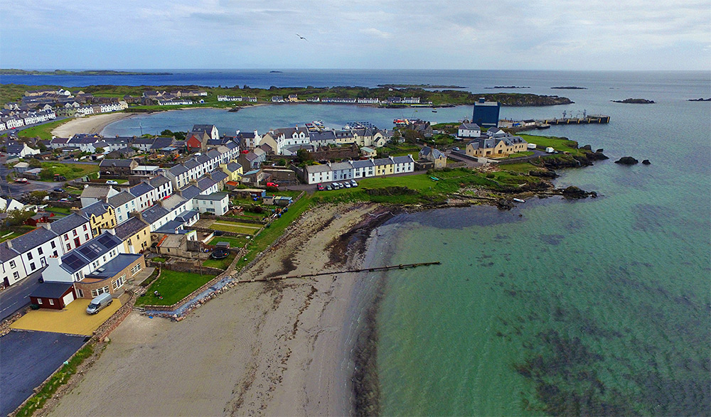
A drone view of Port Ellen, the main port on Islay for the ferry and barley delivery for the famous Islay whisky. The pier and the grain silo towards the right with Loch Leòdamais stretching across the view. White Hart beach just below us.
Taken from a DJI Phantom 3 in June 2015.
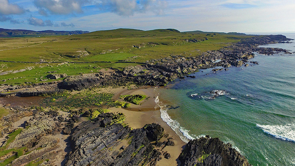
A drone view of the rocky southern shore of Saligo Bay on the west coast of Islay. Saligo River coming in from the left, running into the Atlantic across the beach. The Kilchoman crags in the distance on the left.