Port Ellen from the air, Isle of Islay

Image

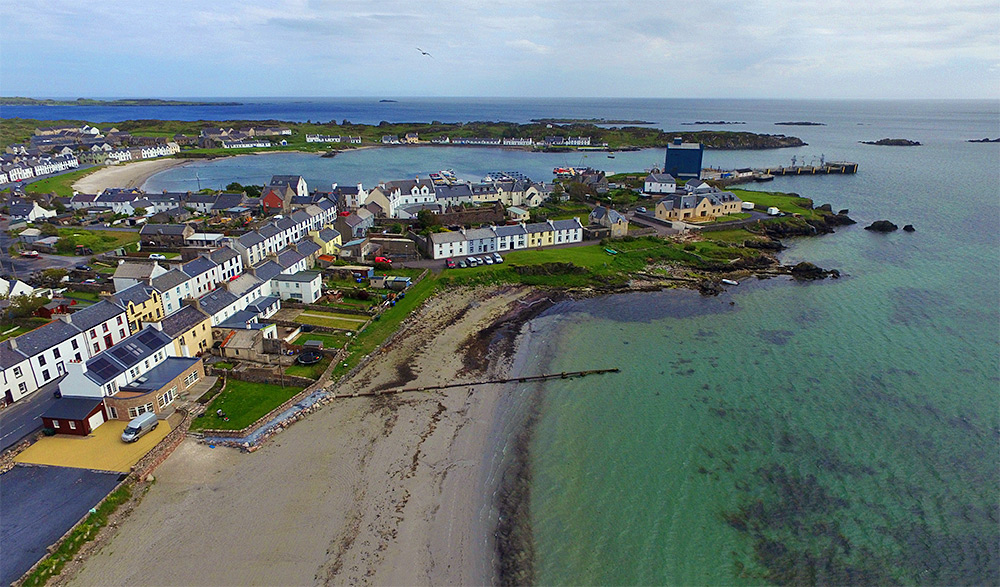
Aerial picture of a coastal village around a small loch with a pier and harbour
Port Ellen from the air, Isle of Islay

A drone view of Port Ellen, the main port on Islay for the ferry and barley delivery for the famous Islay whisky. The pier and the grain silo towards the right with Loch Leòdamais stretching across the view. White Hart beach just below us.

Taken from a DJI Phantom 3 in June 2015.
The south shore of Saligo Bay from the air, Isle of Islay

Image

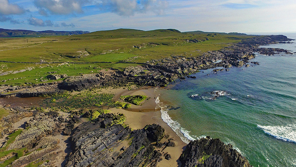
Aerial picture of a rocky shore at the end of a bay
The south shore of Saligo Bay from the air, Isle of Islay

A drone view of the rocky southern shore of Saligo Bay on the west coast of Islay. Saligo River coming in from the left, running into the Atlantic across the beach. The Kilchoman crags in the distance on the left.

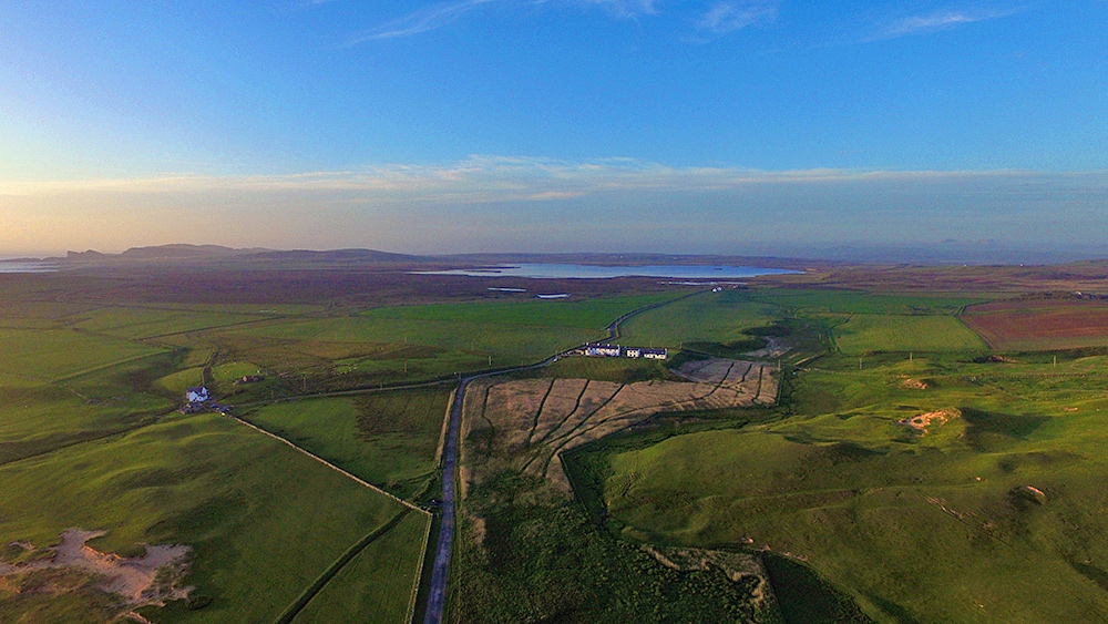
Coastguard Cottages and Loch Gorm from the air, Isle of Islay

Image

Aerial picture of a row of cottages and a freshwater loch in the distance
Coastguard Cottages and Loch Gorm from the air, Isle of Islay

A drone picture from June 2015, taken on a beautiful late evening from Kilchoman just before sunset. Just ahead the Coastguard Cottages towards the right, the reed beds where Corncrakes can often be heard (and with a lot of luck even be seen) stretching out in front and to the right of them. Loch Gorm, Islay’s largest freshwater loch in the distance behind the cottages. Saligo just visible in the distance on the left.