Blustery passage in the Sound of Islay

Image

Picture of a view from a ferry travelling down a sound between two islands on a blustery day 
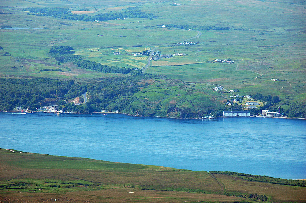
A view from the MV Hebridean Isles travelling down the Sound of Islay on a blustery day. Dunlossit Castle and Port Askaig as well as Jura ferry crossing the sound are visible in the middle distance. Behind it Sgarbh Breac, at 364m the highest hill in the north of Islay, can be spotted.
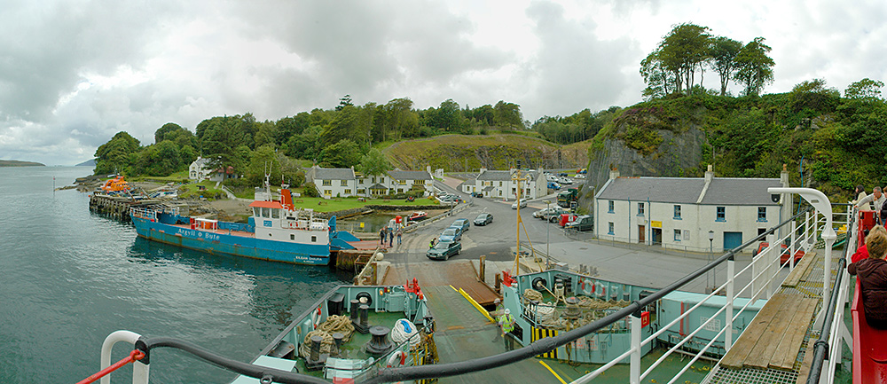
Port Askaig in 2005 panorama, Isle of Islay

Image

Panoramic picture of a view over a small ferry port on an islandAn older view of Port Askaig at the Sound of Islay, taken from the MV Isle of Arran. The new road, car park and waiting area had been finished at this time in 2005, but the new Jura ferry and small boat harbour pier as well as the new ferry terminal building were still to come.

Port Askaig and Caol Ila, Isle of Islay (seen from Jura)

Image

Picture of two settlements at a sound between two islands, seen from a mountainA follow up to the Port Askaig, Keills and Bowmore seen from Jura picture I posted recently. There someone asked where Caol Ila was. This view from the summit of Beinn an Oir, the highest of the Paps of Jura at 785m, shows both Port Askaig and Caol Ila at the Sound of Islay with Keills further back inland. I’m not entirely sure what the loch on the top left is, but I think it’s Loch nan Cadhan.